NIVA HACK

16 06 2022
Aanmelden tot
Apply until
14 juni
Datum
Date
16 & 17 juni 2022
Prijs:
Event fee:
gratis deelname
Plekken vrij:
Places left:
20
tijd tot sluiting aanmelding countdown

Activiteitsdetails

Event details

Aanmelden tot:
Register until:
14 juni
Datum:
Date:
16 & 17 juni 2022
Prijs:
Event fee:
gratis deelname
Voor wie:
For whom?

Highly motivated creative people that want to support farmers with innovative data driven solutions and are looking for challenging learning opportunities. Participants should either have domain knowledge and/or data/IT skills.

Plekken vrij:
Places left:
20
Locatie:
Location:

Buitenplaats Molenwei
Stompwijkseweg 27
2266 GC Leidschendam-Voorburg

foto niva

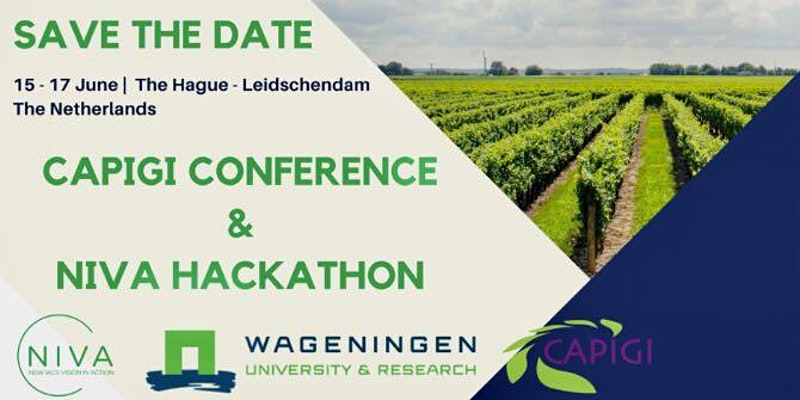
THE NIVA HACKATHON, 16 & 17  JUNE 2022

How do we open up environmental data to farmers to help make them more informed land management decisions and improve their environmental performance? This is the key goal for the 32 hour NIVA hackathon, which will take place on a farm on the 16th and 17th June.

This hackathon offers the opportunity to work in an international setting, as it is part of a H2020 program. Remote teams  in other EU countries will work in parallel to the hackathon in the Netherlands.

With the hackathon we will build on top of results of the NIVA4CAP program, a collaboration of Paying Agencies from 9 EU Member States to develop new tools to improve their Administration and Control Systems, and at the same time offer farmers opportunities to improve their farming practices. Open source components of NIVA tooling have been made available in a Gitlab repository.


We are looking for you!

We are looking for highly motivated creative people that want to support farmers with innovative data driven solutions and are looking for challenging learning opportunities. Participants should either have domain knowledge and/or data/IT skills. The hackathon offers a unique opportunity to work with international representatives of Paying Agencies, tech savvy creatives, environmental researchers, and other experts. Individuals as well as groups can register. The organization ensures well-composed multidisciplinary teams.

We are looking for you if you

  • Want to help make environmental data available to farmers, help them to make more informed land management decisions and improve their environmental performance
  • If you are a tech creative and think you can help solve some of the issues coming from the defined challenges (overall data crunching, AI, carbon sequestration, remote sensing, UX/UI designers etc)
  • If you want to be part of an on-farm, open and peer-to-peer learning environment for 32 hours and want to compete with international teams.

Hacker. Noun. "A person who enjoys exploring the details of programmable systems and stretching their capabilities, as opposed to most users, who prefer to learn only the minimum necessary." - The Jargon File

THE CHALLENGES

The following challenges have been identified (work in progress!)

CHALLENGE 1 environmental performance dashboard

Background: Farmers need better oversight and insight in relevant data to improve their environmental footprint. An important data source is the data in paying agencies’ systems, that could be re-used for these purposes.

Ask: Prototype a service that allows farmers to see their environmental performance on a critical set of indicators (such as biodiversity, carbon and nitrogen, etc). Such an interactive tool could allow farmers to see their current performance, set new goals and track their performance, and benchmark with other farmers. This challenge links with Use Case 1b (UC1b), which developed a set of KPIs to measure environmental performance

CHALLENGE 2 privacy-by-design

Background: The international carbon credit market is growing fast, which provides farmers opportunities to find compensation for their reduced carbon emissions. As a service carbon farming does need a lot of data. Machine data is an interesting data source for automated farming records, especially in combination with satellite data.

Ask: design a privacy-by-design protocol to exchange machine data with paying agencies to support farmers with their sustainable practices. This challenge links with Use Case 1b (UC1b), as it developed algorithms to calculate carbon content at farm level.

CHALLENGE 3 photos, satellites, and land use changes

Background: Paying Agencies detect land use changes for performance-based payments from satellite images. In some cases it’s not possible to clearly detect from satellite images the difference among different land cover types (such as weed and grass). Data that allows distinguishing between land covers can be gathered by geo-tagged photos.

Ask: develop an algorithm that can be used to use a combination of satellite imagery and data collected by geotagged photos, to detect and interpret land use changes.

This challenge links with Use Case 4a (UC4a) which developed a product that allows to capture and share geo-tagged photos

CHALLENGE 4 machine data to classify satellite images (to be confirmed)

Background: Strip cropping is a sustainable land management practice which is likely to have a positive impact on biodiversity, resilience of crops to extreme weather events and creating a robust, plant-based food production system. Despite this potential, stripcropping is not detectable on satellite images, hence it’s challenging for farmers which adopted this practice to get related payments.

Ask: develop a product that allows using machine data to train satellite image classification in detecting strip-cropping. This challenge links with Use Case 4b (UC4b) which collected machinery data

Keep posted, we will send out updates on the go!

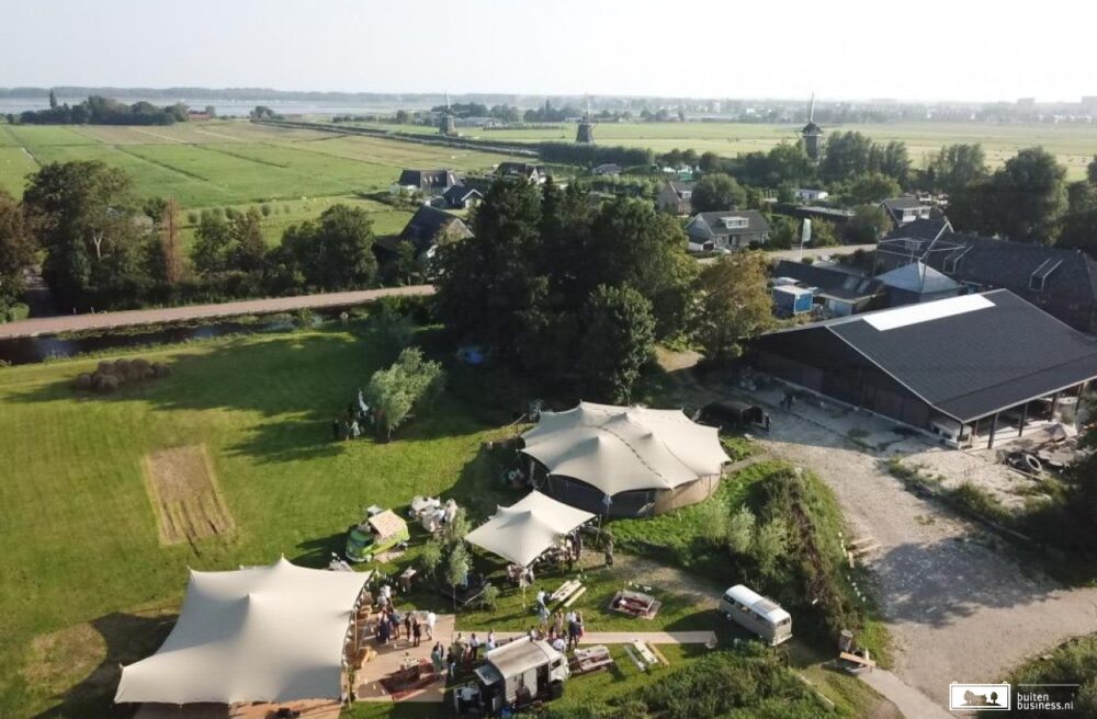
See below, the location of the hackathon, the beautiful Natuur & Recreatie Boerderij Molenwei!